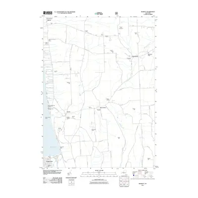
2011 Map of Burdett
USGS Topo · Published 2011About this map
Seneca Lake defines the western edge of this landscape, where the shoreline is marked by steep ravines and points such as Glen Eldridge Point and Hector Falls Point. The interior upland is a mosaic of agricultural production and rural hamlets, reflecting a deep-rooted viticulture and farming economy. Commercial operations like Rasta Ranch Vineyards And Nursery, Atwater Estate Vineyards, and Wickham Farms are interspersed with historical family operations like Glendale Farm and Bear Farm.
Find a feature on this map
82 named features on this map. Tap any name to fly to it.
Don’t see what you’re looking for? This feature index may not catch every label — zoom into the map to look around manually.
Map Details
Editions of this 2011 Burdett Map
This is the sole edition of this map. No revisions or reprints were ever made.
Other maps of this area

1893 · Ithaca
USGS Topo · 1:62,500

1895 · Ithaca
USGS Topo · 1:62,500

1898 · Watkins Glen
USGS Topo · 1:62,500

1901 · Watkins
USGS Topo · 1:62,500

1902 · Genoa
USGS Topo · 1:62,500

1902 · Ovid
USGS Topo · 1:62,500

1905 · Watkins Glen
USGS Topo · 1:125,000

1942 · Dundee
USGS Topo · 1:24,000

1942 · Lodi
USGS Topo · 1:24,000

1942 · Trumansburg
USGS Topo · 1:24,000