
1966 Map of Burdette
USGS Topo · Published 1967About this map
Burdette sits at the heart of this Hand County landscape, a rural community defined by the convergence of North Wolf Creek and Wolf Creek. The prairie is organized by townships including Burdette, Holden, and Wheaton, where the distribution of schools and public buildings reflects the mid-century social structure of South Dakota. Local history is anchored by landmarks like the Sunbeam Ch Townhall and the Townhall near the main settlement, serving as gathering points for the surrounding agricultural population. This mid-1960s study, prepared as part of the Missouri River Basin development program, also identifies the Sunbeam Cem and Burdette Cem, providing essential primary source data for genealogists tracing families in the townships of Carlton, Gilbert, and York. In the south, Turtle Creek winds through the fields, while a small Gravel Pit indicates the local industry supporting the area's unpaved road network.
Find a feature on this map
15 named features on this map. Tap any name to fly to it.
Don’t see what you’re looking for? This feature index may not catch every label — zoom into the map to look around manually.
Map Details
Editions of this 1966 Burdette Map
This is the sole edition of this map. No revisions or reprints were ever made.
Other maps of this area

1899 · Redfield
USGS Topo · 1:125,000

1953 · Huron
USGS Topo · 1:250,000

1954 · Huron
USGS Topo · 1:250,000
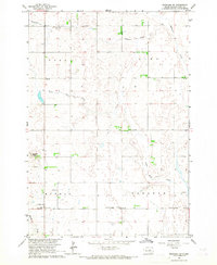
1966 · Rockham SW
USGS Topo · 1:24,000
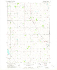
1966 · Rockham SE
USGS Topo · 1:24,000

1966 · Redfield SW
USGS Topo · 1:24,000

1967 · Tulare NW
USGS Topo · 1:24,000

1967 · Miller
USGS Topo · 1:24,000
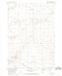
1967 · Miller SE
USGS Topo · 1:24,000
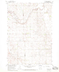
1967 · Tulare SW
USGS Topo · 1:24,000