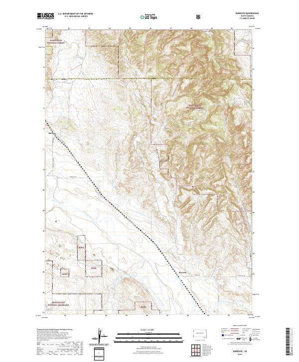
2021 Map of Burdock
USGS Topo · Published 2021About this map
Black Hills National Forest and the Buffalo Gap National Grassland converge in this western South Dakota landscape, where the high ridges of Pilger Mtn give way to a network of deep canyons and watercourses. The small settlements of Burdock and Marietta anchor a region defined by its complex hydrology and early ranching infrastructure. A sophisticated system of water management is visible through the Griffis Canal and Tubbs Canal, which divert water across the plains south of the Cheyenne River. The terrain is deeply incised by drainages such as Roderick Canyon, East Bennett Canyon, and Driftwood Canyon, showing the erosive force of seasonal flows from Pass Cr and Beaver Cr toward the river valley.
Find a feature on this map
36 named features on this map. Tap any name to fly to it.
Don’t see what you’re looking for? This feature index may not catch every label — zoom into the map to look around manually.
Map Details
Editions of this 2021 Burdock Map
This is the sole edition of this map. No revisions or reprints were ever made.
Other maps of this area

1896 · Harney Peak
USGS Topo · 1:125,000

1899 · Newcastle
USGS Topo · 1:125,000

1901 · Harney Peak
USGS Topo · 1:125,000

1901 · Newcastle
USGS Topo · 1:125,000

1902 · Edgemont
USGS Topo · 1:125,000

1950 · Edgemont
USGS Topo · 1:24,000

1950 · Edgemont SW
USGS Topo · 1:24,000

1950 · Burdock
USGS Topo · 1:24,000

1950 · Edgemont NE
USGS Topo · 1:24,000

1951 · Dewey
USGS Topo · 1:24,000