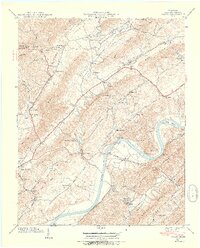
1939 Map of Burem
USGS Topo · Published 1954About this map
The Holston River carves a dramatic path through this section of Hawkins County, defining a landscape of tight ridges and agricultural valleys. Near Burem, the Burem Bridge provides a vital crossing point, while the Southern railway tracks follow the river's southern bank through Bussels Bend. The region is marked by a dense network of early rural institutions, including the Alumwell Academy in the northwest and the Hennard Mill on Sweetwater Br. One of the most distinctive natural landmarks is the Ebbing and Flowing Spring, located north of Amis. This 1939 field examination reveals a well-established pattern of small communities like Petersburg and Guntown nestled between the Valley Knobs and Hickory Valley, connected by local routes and the prominent Lee Highway.
Find a feature on this map
90 named features on this map. Tap any name to fly to it.
Don’t see what you’re looking for? This feature index may not catch every label — zoom into the map to look around manually.
Map Details
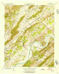
Editions of this 1939 Burem Map
2 editions found
Other maps of this area

1883 · Morristown
USGS Topo · 1:125,000

1887 · Jonesville
USGS Topo · 1:125,000

1891 · Jonesville
USGS Topo · 1:125,000

1892 · Greeneville
USGS Topo · 1:125,000

1893 · Morristown
USGS Topo · 1:125,000

1894 · Estillville
USGS Topo · 1:125,000

1895 · Morristown
USGS Topo · 1:125,000

1896 · Greeneville
USGS Topo · 1:125,000

1904 · Greeneville
USGS Topo · 1:125,000

1935 · Surgoinsville
USGS Topo · 1:48,000