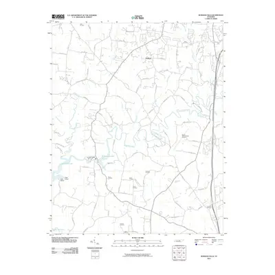
2010 Map of Burgess Falls
USGS Topo · Published 2010About this map
Burgess Falls Lake and the Falling Water River dominate this landscape south of Cookeville, where the water is harnessed at the Burgess Falls Dam. The terrain is marked by significant topographical shifts, including Hickey Ridge and the distinct depressions of Tibbs Hollow and Cane Hollow. Local history is preserved in a high density of family burial grounds such as Grimes Cemetery, Elrod Cemetery, and O'Connor Cemetery, which are scattered throughout the rural landscape near the small settlement of Huntland. The eastern portion of the map shows the transition toward local infrastructure with the Sparta-White County Airport and a network of namesake roads like Burgess School Rd, reflecting the region's mid-century development and community centers. Cane Creek and its many branches, including Phelps Branch, provide a complex drainage system that feeds into the larger reservoir system.
Find a feature on this map
89 named features on this map. Tap any name to fly to it.
Don’t see what you’re looking for? This feature index may not catch every label — zoom into the map to look around manually.
Map Details
Editions of this 2010 Burgess Falls Map
This is the sole edition of this map. No revisions or reprints were ever made.
Other maps of this area

1892 · Pikeville
USGS Topo · 1:125,000

1893 · Mc Minnville
USGS Topo · 1:125,000

1895 · Mc Minnville
USGS Topo · 1:125,000

1895 · Pikeville
USGS Topo · 1:125,000

1897 · Standingstone
USGS Topo · 1:125,000

1898 · Standingstone
USGS Topo · 1:125,000

1943 · Cookeville
USGS Topo · 1:100,000

1944 · Cookeville
USGS Topo · 1:100,000

1953 · Chattanooga
USGS Topo · 1:250,000

1953 · Cookeville East
USGS Topo · 1:24,000