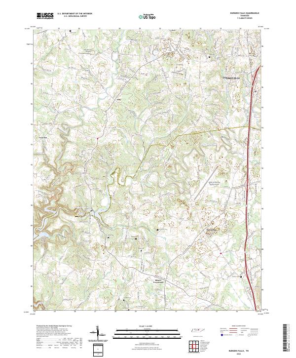
2022 Map of Burgess Falls
USGS Topo · Published 2022About this map
The Falling Water River carves a deep path through this section of the Cumberland Plateau, defining the boundary between Putnam and White counties. The landscape is characterized by a mix of agricultural fields and rolling hills, with several small rural communities like Ditty, Twin Oak, and Macedonia serving as local hubs. In the southeastern portion, Bakers Crossroads marks a key intersection near the Upper Cumberland Regional Airport, a major infrastructure point for the region. Genealogists will find a significant concentration of family burial grounds throughout the area, including Rhea Cem, Hitchcock Cem, and the Southern Cem near the southern edge of the sheet. The terrain is further shaped by smaller tributaries such as Cane Creek and Pigeon-Roost-Cr, which drain into the river system. North of the river, the area around One Grand Field reflects the rural, open character of the Tennessee uplands.
Find a feature on this map
174 named features on this map. Tap any name to fly to it.
Don’t see what you’re looking for? This feature index may not catch every label — zoom into the map to look around manually.
Map Details
Editions of this 2022 Burgess Falls Map
This is the sole edition of this map. No revisions or reprints were ever made.
Other maps of this area

1892 · Pikeville
USGS Topo · 1:125,000

1893 · Mc Minnville
USGS Topo · 1:125,000

1895 · Mc Minnville
USGS Topo · 1:125,000

1895 · Pikeville
USGS Topo · 1:125,000

1897 · Standingstone
USGS Topo · 1:125,000

1898 · Standingstone
USGS Topo · 1:125,000

1943 · Cookeville
USGS Topo · 1:100,000

1944 · Cookeville
USGS Topo · 1:100,000

1953 · Chattanooga
USGS Topo · 1:250,000

1953 · Cookeville East
USGS Topo · 1:24,000