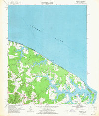
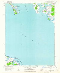
1968 Map of Burgess
USGS Topo · Published 1971About this map
The Northern Neck of Virginia meets the Chesapeake Bay on this late-1960s survey, illustrating a landscape defined by deeply incised tidal creeks and low-lying peninsulas. Centered on the crossroads of Burgess, the map documents the community structure of Northumberland County, where local life clustered around country stores and rural congregations like Fairfields Ch and Shiloh Ch. The transition from the broad Potomac River to the intricate network of the Little Wicomico River is marked by a series of necks, including Hack Neck and Hull Neck, each punctuated by small ponds and marshes. Geologic activity is noted by several Gravel Pits scattered near Gonyon and Edwardsville. Along the shoreline, a seasonal or recreational presence is visible at Vir-Mar Beach and Cordreys Beach, while the working waterfront is anchored by a Ferry connection near Sunnybank and the guiding light at Smith Pt.
Find a feature on this map
60 named features on this map. Tap any name to fly to it.
Don’t see what you’re looking for? This feature index may not catch every label — zoom into the map to look around manually.
Map Details
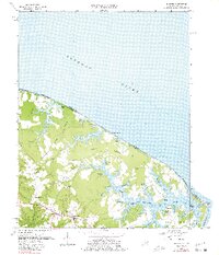
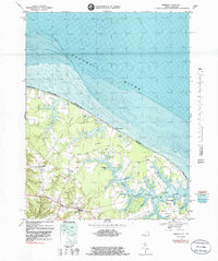
Editions of this 1968 Burgess Map
3 editions found
Other maps of this area

1894 · Point Lookout
USGS Topo · 1:62,500

1898 · St. Marys
USGS Topo · 1:125,000

1903 · Bloodsworth Island
USGS Topo · 1:62,500

1906 · St. Marys
USGS Topo · 1:125,000

1912 · Point Lookout
USGS Topo · 1:62,500

1917 · Heathsville
USGS Topo · 1:48,000

1917 · Ewell
USGS Topo · 1:62,500

1937 · Point Lookout
USGS Topo · 1:62,500
1942 · Point Lookout
USGS Topo · 1:24,000
1942 · St. George Island
USGS Topo · 1:24,000