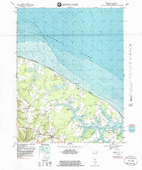
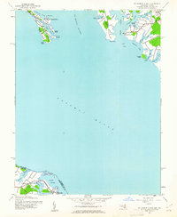
1968 Map of Burgess
USGS Topo · Published 1983About this map
Hack Neck and Hull Neck define the jagged shoreline of the Northern Neck, where the Potomac River meets the Chesapeake Bay. This late 1960s survey, updated with 1980s bathymetry, reveals a landscape deeply tied to the water, where finger-like coves such as Sawmill Cove and Hansons Cove reach into the timbered interior. The inland road network centers on the village of Burgess, where community life is anchored by Fairfields Ch, Fairfields Sch, and the nearby Fairfields Cem.
Find a feature on this map
53 named features on this map. Tap any name to fly to it.
Don’t see what you’re looking for? This feature index may not catch every label — zoom into the map to look around manually.
Map Details
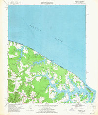
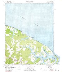
Editions of this 1968 Burgess Map
3 editions found
Other maps of this area

1894 · Point Lookout
USGS Topo · 1:62,500

1898 · St. Marys
USGS Topo · 1:125,000

1903 · Bloodsworth Island
USGS Topo · 1:62,500

1906 · St. Marys
USGS Topo · 1:125,000

1912 · Point Lookout
USGS Topo · 1:62,500

1917 · Heathsville
USGS Topo · 1:48,000

1917 · Ewell
USGS Topo · 1:62,500

1937 · Point Lookout
USGS Topo · 1:62,500
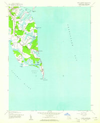
1942 · Point Lookout
USGS Topo · 1:24,000
1942 · St. George Island
USGS Topo · 1:24,000