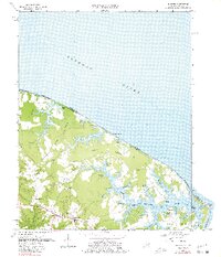
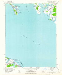
1968 Map of Burgess
USGS Topo · Published 1981About this map
Hull Neck and Hack Neck dominate this late-1960s coastal survey, illustrating the deeply indented shoreline where the Potomac River meets the Chesapeake Bay. The map records a landscape defined by tidewater proximity, where small settlements like Burgess and Edwardsville serve as inland hubs for a network of creek-side communities. Numerous small ponds such as Lowes Pond and Condit Pond sit just behind the bay-front beaches of Cordreys Beach and Vir-Mar Beach, protected by narrow sand barriers.
Find a feature on this map
65 named features on this map. Tap any name to fly to it.
Don’t see what you’re looking for? This feature index may not catch every label — zoom into the map to look around manually.
Map Details
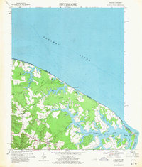
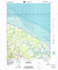
Editions of this 1968 Burgess Map
3 editions found
Other maps of this area

1894 · Point Lookout
USGS Topo · 1:62,500

1898 · St. Marys
USGS Topo · 1:125,000

1903 · Bloodsworth Island
USGS Topo · 1:62,500

1906 · St. Marys
USGS Topo · 1:125,000

1912 · Point Lookout
USGS Topo · 1:62,500

1917 · Heathsville
USGS Topo · 1:48,000

1917 · Ewell
USGS Topo · 1:62,500

1937 · Point Lookout
USGS Topo · 1:62,500
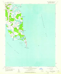
1942 · Point Lookout
USGS Topo · 1:24,000
1942 · St. George Island
USGS Topo · 1:24,000