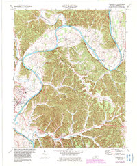
1978 Map of Burkesville
USGS Topo · Published 1983About this map
The Cumberland River dictates the rhythm of the landscape in this late 1970s survey, looping through deep meanders that create fertile agricultural pockets like Howards Bottom, Scotts Bottom, and Irish Bottom. At the river's edge, the town of Burkesville serves as the regional hub, with the nearby settlement of Douan Town and various landings like Alexander Bar reflecting a long history of river-dependent commerce. The map is heavily dotted with Oil Wells, particularly concentrated along the flats and lower slopes, illustrating the significant role of the petroleum industry in Cumberland County during this era.
Find a feature on this map
60 named features on this map. Tap any name to fly to it.
Don’t see what you’re looking for? This feature index may not catch every label — zoom into the map to look around manually.
Map Details
Editions of this 1978 Burkesville Map
2 editions found
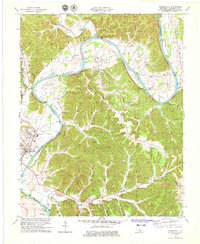
Other maps of this area

1924 · Lillydale
USGS Topo · 1:62,500

1926 · Lillydale
USGS Topo · 1:62,500

1929 · Lillydale
USGS Topo · 1:62,500

1929 · Byrdstown
USGS Topo · 1:62,500

1953 · Breeding
USGS Topo · 1:24,000

1953 · Waterview
USGS Topo · 1:24,000

1953 · Amandaville
USGS Topo · 1:24,000

1953 · Burkesville
USGS Topo · 1:24,000

1953 · Wolf Creek Dam
USGS Topo · 1:24,000

1953 · Creelsboro
USGS Topo · 1:24,000