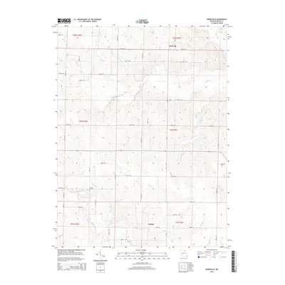
2014 Map of Burksville
USGS Topo · Published 2014About this map
Burksville and Oakdale anchor this landscape in northeastern Missouri, where a complex network of tributaries feeds the N River. The area is defined by its rural road system, with numbered routes like Shelby 236 and Shelby 262 connecting scattered homesteads across the townships. One of the primary landmarks for local history is the Fairview Cemetery, located near the winding path of Black Creek.
Find a feature on this map
54 named features on this map. Tap any name to fly to it.
Don’t see what you’re looking for? This feature index may not catch every label — zoom into the map to look around manually.
Map Details
Editions of this 2014 Burksville Map
This is the sole edition of this map. No revisions or reprints were ever made.
Other maps of this area

1903 · Palmyra
USGS Topo · 1:125,000

1948 · Quincy
USGS Topo · 1:250,000

1953 · Moberly
USGS Topo · 1:250,000

1954 · Moberly
USGS Topo · 1:250,000

1956 · Quincy
USGS Topo · 1:250,000

1957 · Moberly
USGS Topo · 1:250,000

1959 · Shelbina
USGS Topo · 1:24,000

1959 · Lakenan
USGS Topo · 1:24,000

1959 · Hunnewell
USGS Topo · 1:24,000

1960 · Moberly
USGS Topo · 1:250,000