
1959 Map of Lakenan
USGS Topo · Published 1960About this map
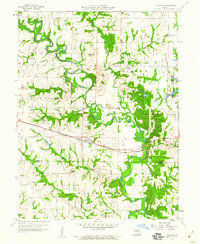
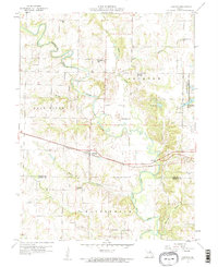
Lakenan and Kendall sit at the heart of this agricultural landscape in northeast Missouri, where the North Fork Salt River and its many tributaries, such as Thomas Creek and Jackson Creek, carve through the terrain. The presence of numerous rural schoolhouses, including Beatley Sch, Givan Sch, Hightower Sch, and Greenwell Sch, reflects a mid-century community structure still centered on local school districts. The Chicago Burlington and Quincy railroad cuts a straight line through the center of the sheet, providing a vital transport link for the surrounding townships.
Find a feature on this map
25 named features on this map. Tap any name to fly to it.
Don’t see what you’re looking for? This feature index may not catch every label — zoom into the map to look around manually.
Map Details
Editions of this 1959 Lakenan Map
3 editions found
Other maps of this area

1903 · Palmyra
USGS Topo · 1:125,000

1948 · Quincy
USGS Topo · 1:250,000

1953 · Moberly
USGS Topo · 1:250,000

1954 · Moberly
USGS Topo · 1:250,000

1956 · Quincy
USGS Topo · 1:250,000

1957 · Moberly
USGS Topo · 1:250,000

1959 · Shelbina
USGS Topo · 1:24,000

1959 · Hunnewell
USGS Topo · 1:24,000

1960 · Moberly
USGS Topo · 1:250,000
1960 · Goss
USGS Topo · 1:24,000