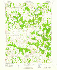
1960 Map of Goss
USGS Topo · Published 1961About this map
Goss sits near the southern edge of this Monroe County landscape, anchored by the Wabash railroad line that cuts through the townships of Jackson and Jefferson. The terrain is defined by the winding course of the North Fork Salt River, which creates a distinctive landform known as The Narrows as it meanders through the central hills. This 1960 era survey captures a rural environment where education and community life were decentralized, evidenced by local landmarks like Marr Sch and Clinton Sch.
Find a feature on this map
24 named features on this map. Tap any name to fly to it.
Don’t see what you’re looking for? This feature index may not catch every label — zoom into the map to look around manually.
Map Details
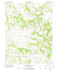
Editions of this 1960 Goss Map
2 editions found
Other maps of this area

1890 · Mexico
USGS Topo · 1:125,000

1890 · Moberly
USGS Topo · 1:125,000

1903 · Palmyra
USGS Topo · 1:125,000

1945 · Florida
USGS Topo · 1:62,500

1948 · Quincy
USGS Topo · 1:250,000

1953 · Moberly
USGS Topo · 1:250,000

1954 · Moberly
USGS Topo · 1:250,000

1956 · Quincy
USGS Topo · 1:250,000

1957 · Moberly
USGS Topo · 1:250,000

1959 · Shelbina
USGS Topo · 1:24,000