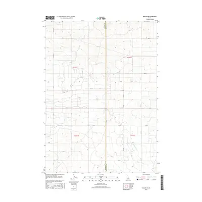
2017 Map of Burley NW
USGS Topo · Published 2017About this map
Agricultural irrigation networks define the landscape of southern Idaho on the border of Jerome Co and Minidoka Co during the mid-2010s. The terrain is meticulously partitioned by a grid of rural roads and water management features, most notably the E E Main Drain and N Main Drain. These drainage systems are central to the region's history of reclaiming arid land for cultivation. The map details a dense network of county roads including N Crestview Rd, S 2800 E, and 1250 W Rd, reflecting the systematic settlement and land division typical of the Snake River Plain. This survey provides a precise view of the rural infrastructure and hydraulic engineering that sustain the local farming economy across several townships, including portions of t8s r21e and t9s r22e.
Find a feature on this map
37 named features on this map. Tap any name to fly to it.
Don’t see what you’re looking for? This feature index may not catch every label — zoom into the map to look around manually.
Map Details
Editions of this 2017 Burley NW Map
This is the sole edition of this map. No revisions or reprints were ever made.
Other maps of this area

1954 · Pocatello
USGS Topo · 1:250,000

1955 · Twin Falls
USGS Topo · 1:250,000

1958 · Twin Falls
USGS Topo · 1:250,000

1958 · Pocatello
USGS Topo · 1:250,000

1964 · Burley SW
USGS Topo · 1:24,000

1964 · Burley NE
USGS Topo · 1:24,000

1964 · Burley NW
USGS Topo · 1:24,000

1964 · Milner
USGS Topo · 1:24,000

1964 · Hazelton NE
USGS Topo · 1:24,000

1964 · Burley SE
USGS Topo · 1:24,000