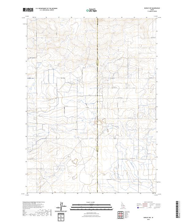
2023 Map of Burley NW
USGS Topo · Published 2023About this map
The irrigated landscapes of the Magic Valley are clearly defined on this 2023 survey along the border of Jerome Co Minidoka Co. The map documents a sophisticated water management system critical to regional agriculture, centered on the E E Main Drain and N Main Drain. These engineering features follow the natural depressions of the terrain to manage runoff and drainage across a sprawling grid of rural sections.
Find a feature on this map
40 named features on this map. Tap any name to fly to it.
Don’t see what you’re looking for? This feature index may not catch every label — zoom into the map to look around manually.
Map Details
Editions of this 2023 Burley NW Map
This is the sole edition of this map. No revisions or reprints were ever made.
Other maps of this area

1954 · Pocatello
USGS Topo · 1:250,000

1955 · Twin Falls
USGS Topo · 1:250,000

1958 · Twin Falls
USGS Topo · 1:250,000

1958 · Pocatello
USGS Topo · 1:250,000

1964 · Burley SW
USGS Topo · 1:24,000

1964 · Burley NE
USGS Topo · 1:24,000

1964 · Burley NW
USGS Topo · 1:24,000

1964 · Milner
USGS Topo · 1:24,000

1964 · Hazelton NE
USGS Topo · 1:24,000

1964 · Burley SE
USGS Topo · 1:24,000