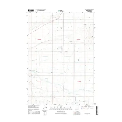
2015 Map of Burlington
USGS Topo · Published 2015About this map
The Greybull River meanders through this agricultural corridor of Big Horn County, supporting a complex network of man-made waterways essential to high-desert farming. The settlement of Burlington sits as a central hub, surrounded by an intricate system of irrigation infrastructure including the Bench Canal, Tatman Canal, and Saint Joe Canal. These laterals and ditches, such as the German Ditch and Maller Ditch, define the land use patterns between the prominent Emblem Bench to the north and the rising slopes of Table Mtn to the east.
Find a feature on this map
80 named features on this map. Tap any name to fly to it.
Don’t see what you’re looking for? This feature index may not catch every label — zoom into the map to look around manually.
Map Details
Editions of this 2015 Burlington Map
This is the sole edition of this map. No revisions or reprints were ever made.
Other maps of this area

1951 · Burlington
USGS Topo · 1:24,000

1951 · Y U Bench NE
USGS Topo · 1:24,000

1951 · Sheep Mountain
USGS Topo · 1:24,000

1951 · Tatman Mountain
USGS Topo · 1:24,000

1951 · Wardel Reservoir
USGS Topo · 1:24,000

1951 · Otto
USGS Topo · 1:24,000

1955 · Cody
USGS Topo · 1:250,000

1958 · Cody
USGS Topo · 1:250,000

1962 · Cody
USGS Topo · 1:250,000

1966 · Gilmore Hill SE
USGS Topo · 1:24,000