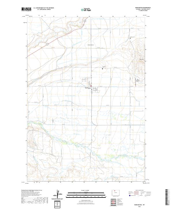
2021 Map of Burlington
USGS Topo · Published 2021About this map
The town of Burlington serves as the focal point of this arid agricultural region in the Bighorn Basin. Situated north of the Greybull River, the settlement is defined by a sophisticated network of human-made water systems essential for high-desert farming. These include the Beck and Allen Lateral, the Tatman Canal, and the Brown and Croxell Ditch, which redirect water from the river to the surrounding flats. To the north and east, the terrain rises toward Emblem Bench and the prominent Table Mtn, illustrating the dramatic topographical shifts between fertile river bottoms and elevated plateaus.
Find a feature on this map
54 named features on this map. Tap any name to fly to it.
Don’t see what you’re looking for? This feature index may not catch every label — zoom into the map to look around manually.
Map Details
Editions of this 2021 Burlington Map
This is the sole edition of this map. No revisions or reprints were ever made.
Other maps of this area

1951 · Burlington
USGS Topo · 1:24,000

1951 · Y U Bench NE
USGS Topo · 1:24,000

1951 · Sheep Mountain
USGS Topo · 1:24,000

1951 · Tatman Mountain
USGS Topo · 1:24,000

1951 · Wardel Reservoir
USGS Topo · 1:24,000

1951 · Otto
USGS Topo · 1:24,000

1955 · Cody
USGS Topo · 1:250,000

1958 · Cody
USGS Topo · 1:250,000

1962 · Cody
USGS Topo · 1:250,000

1966 · Gilmore Hill SE
USGS Topo · 1:24,000