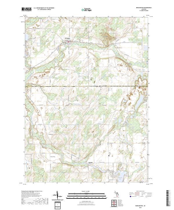
2023 Map of Burlington
USGS Topo · Published 2023About this map
Burlington serves as the primary hub of activity in this 2023 survey, situated along the north-flowing Saint Joseph River. The landscape transitions from the developed grid of the town into the surrounding agricultural and marshy terrain of the Calhoun Co and Branch Co border. Local history is deeply etched into the land through the presence of multiple burial grounds, including the Old Burlington Cem and the Burlington Township Cem, which reflect the settlement's 19th-century roots. To the south, the village of Hodunk marks the confluence where the Coldwater River and Hog Creek meet, illustrating the traditional importance of water junctions in Michigan's rural development. The southern portion of the sheet is characterized by unique topographic features like the Cherry Flats and a dense cluster of water bodies including Morrison Lake and Girard Lake.
Find a feature on this map
91 named features on this map. Tap any name to fly to it.
Don’t see what you’re looking for? This feature index may not catch every label — zoom into the map to look around manually.
Map Details
Editions of this 2023 Burlington Map
This is the sole edition of this map. No revisions or reprints were ever made.
Other maps of this area

1918 · Union City
USGS Topo · 1:62,500

1947 · Union City
USGS Topo · 1:62,500

1948 · Homer
USGS Topo · 1:62,500

1949 · Homer
USGS Topo · 1:62,500

1950 · Union City
USGS Topo · 1:62,500

1953 · Fort Wayne
USGS Topo · 1:250,000

1956 · Fort Wayne
USGS Topo · 1:250,000

1958 · Grand Rapids
USGS Topo · 1:250,000

1960 · Coldwater West
USGS Topo · 1:24,000

1960 · Coldwater East
USGS Topo · 1:24,000