
1940 Map of Burlington
USGS Topo · Published 1940About this map
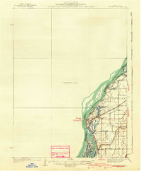
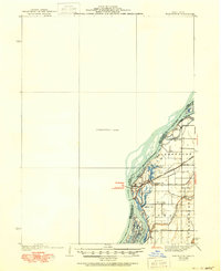
The Mississippi River forms a complex boundary between Illinois and Iowa on this survey, where the river's dynamic nature is evidenced by the Old Channel and various backwaters like Jordan Chute and Shokokon Slough. The landscape is dominated by the floodplains of Gladstone, Carman, and Stronghurst, where a network of rural schools—including Merry Dell Sch and Kirby Sch—served the agricultural community.
Find a feature on this map
28 named features on this map. Tap any name to fly to it.
Don’t see what you’re looking for? This feature index may not catch every label — zoom into the map to look around manually.
Map Details
Editions of this 1940 Burlington Map
3 editions found
Other maps of this area

1918 · La Harpe
USGS Topo · 1:62,500

1932 · Lomax
USGS Topo · 1:62,500

1934 · Oquawka
USGS Topo · 1:48,000

1934 · Burlington
USGS Topo · 1:48,000

1935 · Keithsburg
USGS Topo · 1:48,000

1936 · Fort Madison
USGS Topo · 1:62,500

1937 · Lomax
USGS Topo · 1:62,500

1940 · Oquawka
USGS Topo · 1:62,500

1941 · Keithsburg
USGS Topo · 1:62,500

1946 · Wapello
USGS Topo · 1:62,500