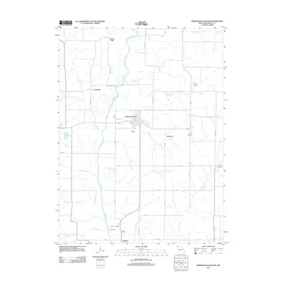
2012 Map of Burlington Junction
USGS Topo · Published 2012About this map
The Nodaway River meanders south through this corner of Northwest Missouri, defining the agrarian character of the landscape around Burlington Junction. This 2012 survey illustrates a region where small rural settlements like Quitman, Dawsonville, and Possum Walk are connected by a grid of section-line roads such as Century Trl and Dynasty Rd. The mapping of the river's floodplain reveals how the waterway and its tributaries, including Cuyhoga Creek and Muddy Creek, continue to shape the land use and drainage of the township.
Find a feature on this map
47 named features on this map. Tap any name to fly to it.
Don’t see what you’re looking for? This feature index may not catch every label — zoom into the map to look around manually.
Map Details
Editions of this 2012 Burlington Junction Map
This is the sole edition of this map. No revisions or reprints were ever made.
Other maps of this area

1939 · Skidmore
USGS Topo · 1:62,500

1940 · Coin
USGS Topo · 1:62,500

1940 · New Market
USGS Topo · 1:62,500

1941 · Skidmore
USGS Topo · 1:62,500

1942 · Skidmore
USGS Topo · 1:62,500

1943 · Coin
USGS Topo · 1:62,500

1943 · Maryville
USGS Topo · 1:62,500

1943 · New Market
USGS Topo · 1:62,500

1955 · Nebraska City
USGS Topo · 1:250,000

1957 · Nebraska City
USGS Topo · 1:250,000