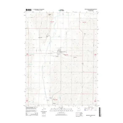
2014 Map of Burlington Junction
USGS Topo · Published 2014About this map
The Nodaway River meanders south through the heart of this northwestern Missouri landscape, anchoring a rural network of small agricultural settlements and farmstead cemeteries. Burlington Junction serves as the primary hub, where local streets like Vine St and W Main St intersect. Historically significant for genealogists, the area is dotted with burial grounds, including the Old Quitman Cemetery, Ohio Cemetery, and Mount Hope Cemetery near Dawsonville.
Find a feature on this map
54 named features on this map. Tap any name to fly to it.
Don’t see what you’re looking for? This feature index may not catch every label — zoom into the map to look around manually.
Map Details
Editions of this 2014 Burlington Junction Map
This is the sole edition of this map. No revisions or reprints were ever made.
Other maps of this area

1939 · Skidmore
USGS Topo · 1:62,500

1940 · Coin
USGS Topo · 1:62,500

1940 · New Market
USGS Topo · 1:62,500

1941 · Skidmore
USGS Topo · 1:62,500

1942 · Skidmore
USGS Topo · 1:62,500

1943 · Coin
USGS Topo · 1:62,500

1943 · Maryville
USGS Topo · 1:62,500

1943 · New Market
USGS Topo · 1:62,500

1955 · Nebraska City
USGS Topo · 1:250,000

1957 · Nebraska City
USGS Topo · 1:250,000