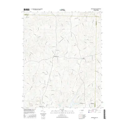
2016 Map of Burlington NE
USGS Topo · Published 2016About this map
Mebane and its northern rural surroundings are defined by a complex network of creeks and small reservoirs that bridge the border between Alamance, Caswell, and Orange counties. The landscape transitions from the developed edge of Mebane near Woodlawn and Green Level into a patchwork of rural holdings centered on historic junctions like Just Crossroads and Pleasant Grove. The hydrology of the region is prominent, featuring the Quaker Creek Reservoir and numerous smaller water bodies such as McCauley Lake and Vinsons Lake.
Find a feature on this map
108 named features on this map. Tap any name to fly to it.
Don’t see what you’re looking for? This feature index may not catch every label — zoom into the map to look around manually.
Map Details
Editions of this 2016 Burlington NE Map
This is the sole edition of this map. No revisions or reprints were ever made.
Other maps of this area

1953 · Greensboro
USGS Topo · 1:250,000

1954 · Greensboro
USGS Topo · 1:250,000

1962 · Greensboro
USGS Topo · 1:250,000

1966 · Greensboro
USGS Topo · 1:250,000

1967 · Cedar Grove
USGS Topo · 1:24,000

1968 · Efland
USGS Topo · 1:24,000

1968 · Ridgeville
USGS Topo · 1:24,000

1969 · Burlington
USGS Topo · 1:24,000

1969 · Mebane
USGS Topo · 1:24,000

1969 · Lake Burlington
USGS Topo · 1:24,000