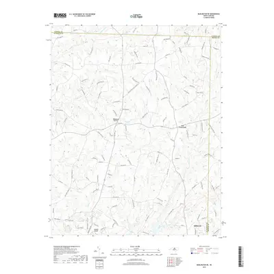
2019 Map of Burlington NE
USGS Topo · Published 2019About this map
Mebane and its northern rural outskirts appear in this contemporary survey, illustrating the convergence of three North Carolina counties. The landscape is defined by a dense network of watercourses and naming conventions that recall the area's agricultural and milling history, such as Hughes Mill Cr and Dickey Mill Rd. The transition from the more developed settlement at Green Level to the quiet unincorporated communities of Pleasant Grove and Just Crossroads shows the persistent rural character of the Piedmont region. To the north, the boundary between Alamance and Caswell counties cuts across a terrain of creek-fed valleys like those of Jordan Cr and Quaker Cr, while McCauley Lake provides a central landmark for local navigation. The abundance of family-named roads, including Willie Pace Rd and Ellis Jeffries Rd, reflects the deep genealogical roots of these local landholdings.
Find a feature on this map
109 named features on this map. Tap any name to fly to it.
Don’t see what you’re looking for? This feature index may not catch every label — zoom into the map to look around manually.
Map Details
Editions of this 2019 Burlington NE Map
This is the sole edition of this map. No revisions or reprints were ever made.
Other maps of this area

1953 · Greensboro
USGS Topo · 1:250,000

1954 · Greensboro
USGS Topo · 1:250,000

1962 · Greensboro
USGS Topo · 1:250,000

1966 · Greensboro
USGS Topo · 1:250,000

1967 · Cedar Grove
USGS Topo · 1:24,000

1968 · Efland
USGS Topo · 1:24,000

1968 · Ridgeville
USGS Topo · 1:24,000

1969 · Burlington
USGS Topo · 1:24,000

1969 · Mebane
USGS Topo · 1:24,000

1969 · Lake Burlington
USGS Topo · 1:24,000