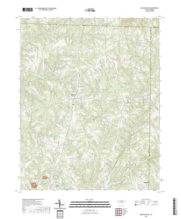
2022 Map of Burlington NE
USGS Topo · Published 2022About this map
The rolling landscape of Alamance County where it meets Orange and Caswell is defined by an intricate network of creeks and rural crossroads. The northern reaches are drained by Hughes Mill Cr and Jordan Cr, while the southern portion transitions toward the developing outskirts of Mebane. At the center of this sheet, the settlement of Pleasant Grove sits near McCauley Lake, serving as a focal point for the surrounding farmsteads and rural routes.
Find a feature on this map
111 named features on this map. Tap any name to fly to it.
Don’t see what you’re looking for? This feature index may not catch every label — zoom into the map to look around manually.
Map Details
Editions of this 2022 Burlington NE Map
This is the sole edition of this map. No revisions or reprints were ever made.
Other maps of this area

1953 · Greensboro
USGS Topo · 1:250,000

1954 · Greensboro
USGS Topo · 1:250,000

1962 · Greensboro
USGS Topo · 1:250,000

1966 · Greensboro
USGS Topo · 1:250,000

1967 · Cedar Grove
USGS Topo · 1:24,000

1968 · Efland
USGS Topo · 1:24,000

1968 · Ridgeville
USGS Topo · 1:24,000

1969 · Burlington
USGS Topo · 1:24,000

1969 · Mebane
USGS Topo · 1:24,000

1969 · Lake Burlington
USGS Topo · 1:24,000