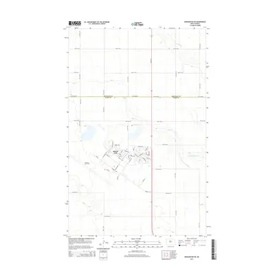
2014 Map of Burlington NE
USGS Topo · Published 2014About this map
Minot Air Force Base dominates the southern landscape of this North Dakota survey, revealing the intricate street network and specialized infrastructure of this strategic military installation. The residential and operational areas of Minot Afb are detailed with specific street names that reflect its mission, including Minuteman Dr, Missile Ave, and Rocket Rd. The surrounding terrain transitions into the agricultural expanse of Ward County and Renville County, where the meandering course of Egg Creek and its tributary Little Deep Cr provide the primary drainage. A rigid grid of section-line roads, such as 212th Ave NW and 27th Ave N, underscores the deliberate organization of the Great Plains prairie. This map provides a clear view of the footprint of military life integrated into the rural northern plains during the early 21st century.
Find a feature on this map
54 named features on this map. Tap any name to fly to it.
Don’t see what you’re looking for? This feature index may not catch every label — zoom into the map to look around manually.
Map Details
Editions of this 2014 Burlington NE Map
This is the sole edition of this map. No revisions or reprints were ever made.
Other maps of this area

1948 · Burlington
USGS Topo · 1:24,000

1948 · Lansford
USGS Topo · 1:62,500

1948 · Burlington
USGS Topo · 1:62,500

1948 · Lansford SW
USGS Topo · 1:24,000

1949 · Burlington NW
USGS Topo · 1:24,000

1949 · Glenburn
USGS Topo · 1:24,000

1949 · Lansford SW
USGS Topo · 1:24,000

1949 · Deering NW
USGS Topo · 1:24,000

1949 · Deering SW
USGS Topo · 1:24,000

1949 · Lansford SE
USGS Topo · 1:24,000