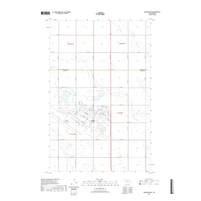
2017 Map of Burlington NE
USGS Topo · Published 2017About this map
Minot Air Force Base dominates the southern landscape of this 2017 quadrangle, revealing a meticulously planned military installation characterized by its aviation-themed thoroughfares. The street grid itself serves as a map of Cold War and modern strategic history, with named routes such as Missile Ave, Bomber Blvd, and Cruise Missile Ln tracing the base's operational focus. A local Po facility is situated within this complex, supporting the personnel stationed on the plains of Ward County.
Find a feature on this map
31 named features on this map. Tap any name to fly to it.
Don’t see what you’re looking for? This feature index may not catch every label — zoom into the map to look around manually.
Map Details
Editions of this 2017 Burlington NE Map
This is the sole edition of this map. No revisions or reprints were ever made.
Other maps of this area

1948 · Burlington
USGS Topo · 1:24,000

1948 · Lansford
USGS Topo · 1:62,500

1948 · Burlington
USGS Topo · 1:62,500

1948 · Lansford SW
USGS Topo · 1:24,000

1949 · Burlington NW
USGS Topo · 1:24,000

1949 · Glenburn
USGS Topo · 1:24,000

1949 · Lansford SW
USGS Topo · 1:24,000

1949 · Deering NW
USGS Topo · 1:24,000

1949 · Deering SW
USGS Topo · 1:24,000

1949 · Lansford SE
USGS Topo · 1:24,000