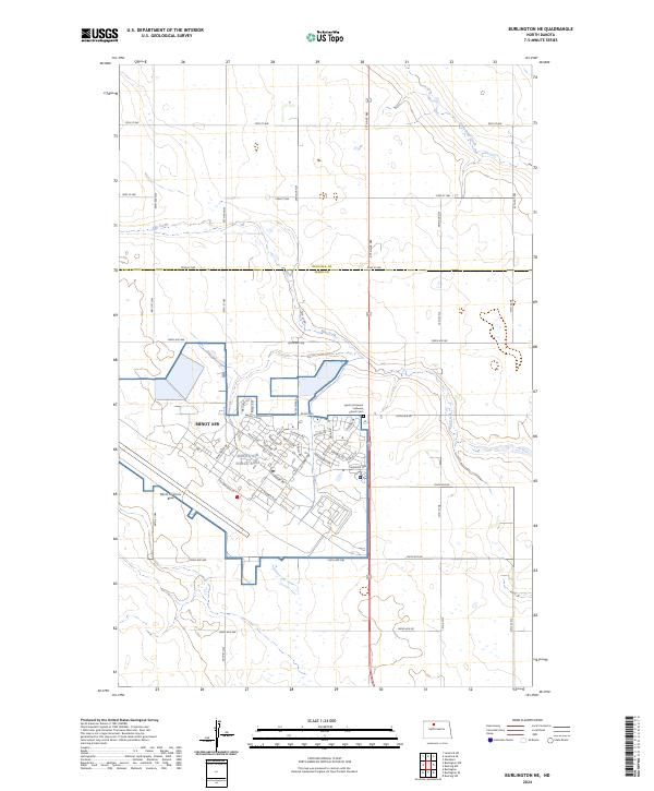
2024 Map of Burlington NE
USGS Topo · Published 2024About this map
Minot Air Force Base dominates the landscape of Ward County, north of the city of Minot. This military installation is meticulously mapped, showing a dense residential and operational street network with names reflecting its strategic mission, including Missile Ave, Rocket Rd, and Peacekeeper Pl. The surrounding terrain transitions abruptly from the base's organized grid to the open prairie of the North Dakota high plains, where the boundary between Renville Co and Ward Co is clearly demarcated.
Find a feature on this map
64 named features on this map. Tap any name to fly to it.
Don’t see what you’re looking for? This feature index may not catch every label — zoom into the map to look around manually.
Map Details
Editions of this 2024 Burlington NE Map
This is the sole edition of this map. No revisions or reprints were ever made.
Other maps of this area

1948 · Burlington
USGS Topo · 1:24,000

1948 · Lansford
USGS Topo · 1:62,500

1948 · Burlington
USGS Topo · 1:62,500

1948 · Lansford SW
USGS Topo · 1:24,000

1949 · Burlington NW
USGS Topo · 1:24,000

1949 · Glenburn
USGS Topo · 1:24,000

1949 · Lansford SW
USGS Topo · 1:24,000

1949 · Deering NW
USGS Topo · 1:24,000

1949 · Deering SW
USGS Topo · 1:24,000

1949 · Lansford SE
USGS Topo · 1:24,000