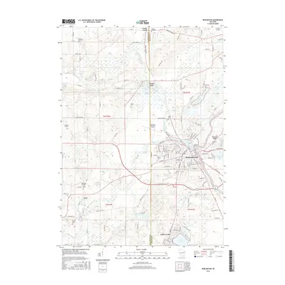
2016 Map of Burlington
USGS Topo · Published 2016About this map
The White River and Fox River converge in the town of Burlington, creating a landscape defined by water and wetlands. This 2016 survey details a region characterized by numerous glacial lakes, including Browns Lake, Bohner Lake, and the cluster surrounding Honey Lake, which includes Tahoe Lake and Delmonte Lake. The map reveals a high density of small family and community burial grounds, such as the German Settlement Cem and the Vienna Cem, which offer significant value for genealogists tracing early regional pioneers. Transportation is anchored by several local airfields, including Burlington Municipal Airport and Fletcher Airport, alongside a well-developed road network connecting rural settlements like Lyons and Honey Creek. The presence of Saint Mary Cem and Saint Charles Cem near the town center underscores the long-standing ecclesiastical history of this community on the Walworth and Racine county line.
Find a feature on this map
136 named features on this map. Tap any name to fly to it.
Don’t see what you’re looking for? This feature index may not catch every label — zoom into the map to look around manually.
Map Details
Editions of this 2016 Burlington Map
This is the sole edition of this map. No revisions or reprints were ever made.
Other maps of this area

1891 · Muskego
USGS Topo · 1:62,500

1892 · Eagle
USGS Topo · 1:62,500

1893 · Silver Lake
USGS Topo · 1:62,500

1893 · Geneva
USGS Topo · 1:62,500

1894 · Eagle
USGS Topo · 1:62,500

1897 · Eagle
USGS Topo · 1:62,500

1901 · Muskego
USGS Topo · 1:62,500

1904 · Lake Geneva
USGS Topo · 1:62,500

1906 · Eagle
USGS Topo · 1:62,500

1906 · Silver Lake
USGS Topo · 1:62,500