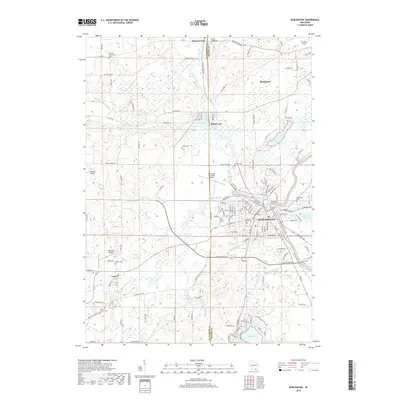
2018 Map of Burlington
USGS Topo · Published 2018About this map
Burlington serves as the focal point of this regional study, situated at the confluence of the White River and the Fox River. The landscape is defined by its glacial hydrology, featuring a dense network of lakes and marshes including Echo Lake, Bohner Lake, and Honey Lake. The area's cultural history is documented through numerous pioneer and denominational burial grounds, such as the German Settlement Cem and Vienna Cem, which provide essential touchpoints for genealogical research.
Find a feature on this map
142 named features on this map. Tap any name to fly to it.
Don’t see what you’re looking for? This feature index may not catch every label — zoom into the map to look around manually.
Map Details
Editions of this 2018 Burlington Map
This is the sole edition of this map. No revisions or reprints were ever made.
Other maps of this area

1891 · Muskego
USGS Topo · 1:62,500

1892 · Eagle
USGS Topo · 1:62,500

1893 · Silver Lake
USGS Topo · 1:62,500

1893 · Geneva
USGS Topo · 1:62,500

1894 · Eagle
USGS Topo · 1:62,500

1897 · Eagle
USGS Topo · 1:62,500

1901 · Muskego
USGS Topo · 1:62,500

1904 · Lake Geneva
USGS Topo · 1:62,500

1906 · Eagle
USGS Topo · 1:62,500

1906 · Silver Lake
USGS Topo · 1:62,500