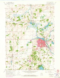
1960 Map of Burlington
USGS Topo · Published 1973About this map
The confluence of the Fox River and the White River centers the city of Burlington, a primary hub where industrial and residential growth was already being updated in 1971. The map documents the city's established religious and educational infrastructure, including St Marys Church and St Charles Church, alongside the Chicago Milwaukee St Paul and Pacific railroad which cuts through the southern landscape.
Find a feature on this map
50 named features on this map. Tap any name to fly to it.
Don’t see what you’re looking for? This feature index may not catch every label — zoom into the map to look around manually.
Map Details
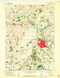
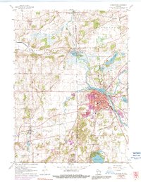
Editions of this 1960 Burlington Map
3 editions found
Other maps of this area

1891 · Muskego
USGS Topo · 1:62,500

1892 · Eagle
USGS Topo · 1:62,500

1893 · Silver Lake
USGS Topo · 1:62,500

1893 · Geneva
USGS Topo · 1:62,500

1894 · Eagle
USGS Topo · 1:62,500

1897 · Eagle
USGS Topo · 1:62,500

1901 · Muskego
USGS Topo · 1:62,500

1904 · Lake Geneva
USGS Topo · 1:62,500

1906 · Eagle
USGS Topo · 1:62,500

1906 · Silver Lake
USGS Topo · 1:62,500