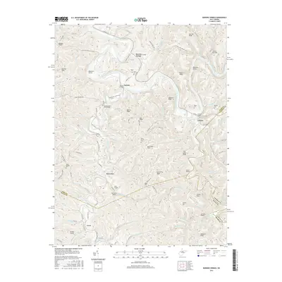
2016 Map of Burning Springs
USGS Topo · Published 2016About this map
Burning Springs and the winding Little Kanawha River anchor this West Virginia landscape where Wirt, Roane, and Calhoun Counties meet. The terrain is defined by a dense network of ridges and hollows, such as Davidson Ridge and Millstone Hollow, which have historically dictated the placement of small communities and family cemeteries. Significant for local historians and genealogists are the numerous scattered burial grounds, including Rector Cem, Beaty Cem, and McCrae Cem near the settlement of Creston.
Find a feature on this map
105 named features on this map. Tap any name to fly to it.
Don’t see what you’re looking for? This feature index may not catch every label — zoom into the map to look around manually.
Map Details
Editions of this 2016 Burning Springs Map
This is the sole edition of this map. No revisions or reprints were ever made.
Other maps of this area

1906 · Elizabeth
USGS Topo · 1:62,500

1907 · Harrisville
USGS Topo · 1:62,500

1907 · Arnoldsburg
USGS Topo · 1:62,500

1907 · Spencer
USGS Topo · 1:62,500

1924 · Harrisville
USGS Topo · 1:62,500

1924 · Elizabeth
USGS Topo · 1:62,500

1925 · Arnoldsburg
USGS Topo · 1:62,500

1926 · Elizabeth
USGS Topo · 1:62,500

1926 · Harrisville
USGS Topo · 1:62,500

1927 · Arnoldsburg
USGS Topo · 1:62,500