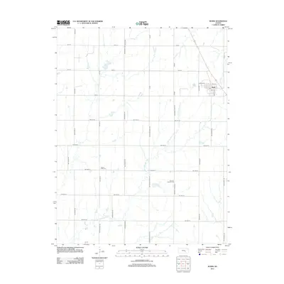
2012 Map of Burns
USGS Topo · Published 2012About this map
Burns stands as the primary settlement on this Marion County landscape, situated where the grid of rural roads meets the diagonal path of US Highway 77. The town's layout is centered around Santa Fe Ave and Scott St, featuring a local Po that serves the surrounding agricultural community. The terrain is defined by the winding course of the E Br Whitewater River, which meanders southward through the central part of the sheet, joined by smaller tributaries like Spring Cr and Turkey Cr.
Find a feature on this map
38 named features on this map. Tap any name to fly to it.
Don’t see what you’re looking for? This feature index may not catch every label — zoom into the map to look around manually.
Map Details
Editions of this 2012 Burns Map
This is the sole edition of this map. No revisions or reprints were ever made.
Other maps of this area

1888 · Eldorado
USGS Topo · 1:125,000

1889 · Newton
USGS Topo · 1:125,000

1889 · Wichita
USGS Topo · 1:125,000

1894 · Wichita
USGS Topo · 1:125,000

1894 · Newton
USGS Topo · 1:125,000

1898 · Cottonwood Falls
USGS Topo · 1:125,000

1955 · Wichita
USGS Topo · 1:250,000

1955 · Hutchinson
USGS Topo · 1:250,000

1957 · Florence
USGS Topo · 1:24,000

1957 · Wonsevu
USGS Topo · 1:24,000