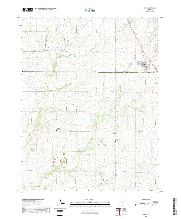
2022 Map of Burns
USGS Topo · Published 2022About this map
Burns sits at the intersection of the Marion Co Butler Co boundary, serving as a concentrated pocket of settlement in an otherwise open agricultural landscape. The town's grid is clearly defined by streets such as Main St, Broadway St, and Cincinnati Ave, with Cemetery Ln leading to the local burial grounds. The surrounding terrain is characterized by the meandering path of the E Br Whitewater River and its tributary Spring Cr, which shape the drainage patterns across the townships of t22s r4e and t23s r5e.
Find a feature on this map
42 named features on this map. Tap any name to fly to it.
Don’t see what you’re looking for? This feature index may not catch every label — zoom into the map to look around manually.
Map Details
Editions of this 2022 Burns Map
This is the sole edition of this map. No revisions or reprints were ever made.
Other maps of this area

1888 · Eldorado
USGS Topo · 1:125,000

1889 · Newton
USGS Topo · 1:125,000

1889 · Wichita
USGS Topo · 1:125,000

1894 · Wichita
USGS Topo · 1:125,000

1894 · Newton
USGS Topo · 1:125,000

1898 · Cottonwood Falls
USGS Topo · 1:125,000

1955 · Wichita
USGS Topo · 1:250,000

1955 · Hutchinson
USGS Topo · 1:250,000

1957 · Florence
USGS Topo · 1:24,000

1957 · Wonsevu
USGS Topo · 1:24,000