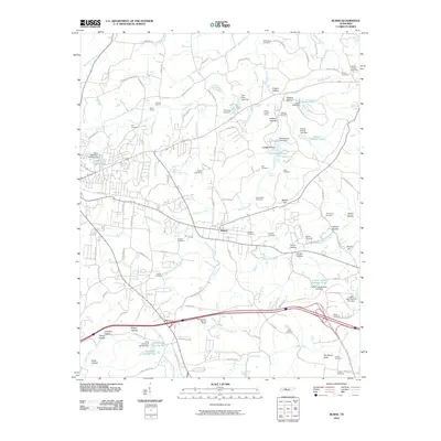
2010 Map of Burns
USGS Topo · Published 2010About this map
Industrial history and rural cemeteries define this portion of Dickson County, centered on the settlement of Burns. The landscape is marked by historic resource extraction, including the Montgomery Bell Ore Banks and the Laurel Furnace Mines, hinting at the region's 19th-century iron heritage. Further north, the Hoover Quarry and Duke Quarry reflect more modern mining activity. The terrain is deeply carved by numerous hollows such as Creech Hollow and Jackson Hollow, many of which have been dammed to create recreational bodies of water like Lake Woodhaven and Creech Hollow Lake.
Find a feature on this map
123 named features on this map. Tap any name to fly to it.
Don’t see what you’re looking for? This feature index may not catch every label — zoom into the map to look around manually.
Map Details
Editions of this 2010 Burns Map
This is the sole edition of this map. No revisions or reprints were ever made.
Other maps of this area

1901 · Colombia
USGS Topo · 1:125,000

1930 · White Bluff
USGS Topo · 1:62,500

1933 · White Bluff
USGS Topo · 1:62,500

1936 · Texas Hollow
USGS Topo · 1:24,000

1936 · Burns
USGS Topo · 1:24,000

1936 · Craigfield
USGS Topo · 1:24,000

1936 · Lyles
USGS Topo · 1:24,000

1936 · Dickson
USGS Topo · 1:24,000
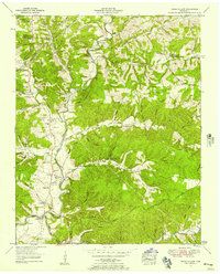
1952 · Texas Hollow
USGS Topo · 1:24,000

1953 · Dickson
USGS Topo · 1:24,000