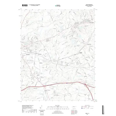
2019 Map of Burns
USGS Topo · Published 2019About this map
White Bluff and Burns anchor this Tennessee landscape, where the Tennessee Valley Divide snakes through the center of the quadrangle. The map is exceptionally dense with family-named burial grounds, including the Gillian Chapel Cem, Price Cem, and Meek Cem, providing a significant data set for local genealogists. The terrain is defined by a network of steep hollows like Wildcat Hollow and Paine Hollow, which feed into local waterways such as Jones Cr and Beaverdam Cr.
Find a feature on this map
215 named features on this map. Tap any name to fly to it.
Don’t see what you’re looking for? This feature index may not catch every label — zoom into the map to look around manually.
Map Details
Editions of this 2019 Burns Map
This is the sole edition of this map. No revisions or reprints were ever made.
Other maps of this area

1901 · Colombia
USGS Topo · 1:125,000

1930 · White Bluff
USGS Topo · 1:62,500

1933 · White Bluff
USGS Topo · 1:62,500

1936 · Texas Hollow
USGS Topo · 1:24,000

1936 · Burns
USGS Topo · 1:24,000

1936 · Craigfield
USGS Topo · 1:24,000

1936 · Lyles
USGS Topo · 1:24,000

1936 · Dickson
USGS Topo · 1:24,000
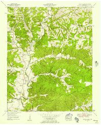
1952 · Texas Hollow
USGS Topo · 1:24,000

1953 · Dickson
USGS Topo · 1:24,000