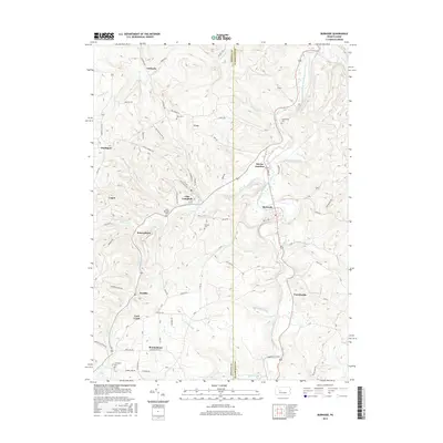
2016 Map of Burnside
USGS Topo · Published 2016About this map
Burnside and Glen Campbell anchor this portion of the Pennsylvania coal and timber country, situated along the West Branch Susquehanna River. The landscape is defined by the winding river valley and its numerous tributaries, including Cush Creek and Rock Run. Small settlements such as Hooverhurst, Lochvale, and Patchinville are scattered across the terrain, connected by a network of winding roads like Rickardsville Road and Glen Campbell Road. Family-named cemeteries including Sunderland Cemetery and Bennett Cemetery are preserved on the ridges, providing a record of local genealogy. The map also illustrates the confluence at Dowler Junction and the presence of religious landmarks like Saint Michaels Cemetery, reflecting the community structure of Indiana and Clearfield counties during this modern era of the 21st century.
Find a feature on this map
76 named features on this map. Tap any name to fly to it.
Don’t see what you’re looking for? This feature index may not catch every label — zoom into the map to look around manually.
Map Details
Editions of this 2016 Burnside Map
This is the sole edition of this map. No revisions or reprints were ever made.
Other maps of this area

1902 · Patton
USGS Topo · 1:62,500

1902 · Barnesboro
USGS Topo · 1:62,500

1903 · Curwensville
USGS Topo · 1:62,500

1904 · Barnesboro
USGS Topo · 1:62,500

1904 · Patton
USGS Topo · 1:62,500

1906 · Punxsutawney
USGS Topo · 1:62,500

1939 · Curwensville
USGS Topo · 1:62,500

1939 · Punxsutawney
USGS Topo · 1:62,500

1942 · Curwensville
USGS Topo · 1:62,500

1942 · Punxsutawney
USGS Topo · 1:62,500
Featured Places
- Glen Campbell, PA
- Burnside, PA
- Banks Township, PA
- Hooverhurst, Montgomery Township
- Logan, Banks Township