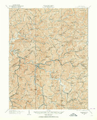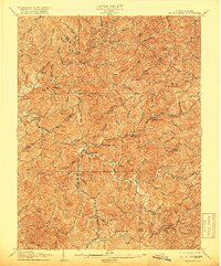
1906 Map of Burnsville
USGS Topo · Published 1919About this map
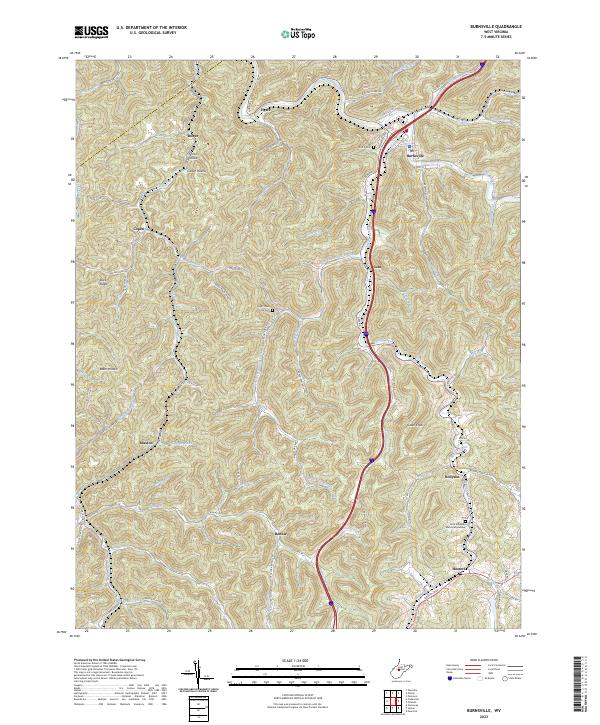
The Little Kanawha River carves a winding path through the dissected plateau of central West Virginia, serving as the primary geographic corridor for this turn-of-the-century survey. At the heart of the region, Burnsville sits at the junction of the river and Oil Creek, marking a vital point of transit where the Baltimore and Ohio railroad threads through the valleys. The landscape is defined by its ridge-and-valley settlement pattern, where small communities like Stouts Mills and Bealls Mills are tucked into the narrow hollows near numerous runs and forks.
Find a feature on this map
101 named features on this map. Tap any name to fly to it.
Don’t see what you’re looking for? This feature index may not catch every label — zoom into the map to look around manually.
Map Details
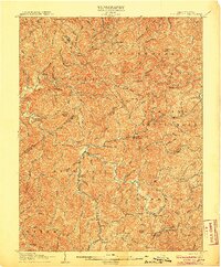
Editions of this 1906 Burnsville Map
2 editions found
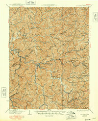
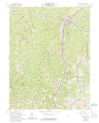
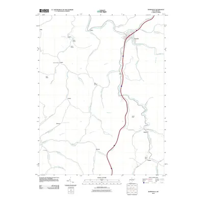
Historical Maps of Burnsville Through Time
9 maps found