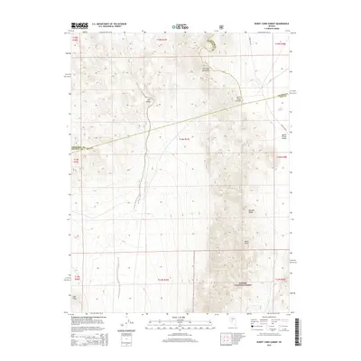
2015 Map of Burnt Cabin Summit
USGS Topo · Published 2015About this map
Toiyabe National Forest encompasses the high-elevation terrain where the Great Basin's character is defined by sharp topographic shifts and the meeting of three counties. This 2015 survey documents the complex jurisdictional boundaries of Lander, Churchill, and Nye Counties as they converge near the Desatoya Mountains and the Paradise Range. The landscape is dominated by the broad basins of Lodi Valley and Smith Creek Valley, separated by the namesake Burnt Cabin Summit. This area is a significant corridor for remote navigation, evidenced by the presence of Snake Bite Rd traversing the north. Local landmarks like Black Butte and the Lodi Hills provide fixed points for understanding the geology of central Nevada, where mountain ridges and valley floors create a dramatic vertical profile typical of the Basin and Range province.
Find a feature on this map
12 named features on this map. Tap any name to fly to it.
Don’t see what you’re looking for? This feature index may not catch every label — zoom into the map to look around manually.
Map Details
Editions of this 2015 Burnt Cabin Summit Map
This is the sole edition of this map. No revisions or reprints were ever made.
Other maps of this area

1907 · Tonopah
USGS Topo · 1:250,000

1908 · Tonopah
USGS Topo · 1:250,000

1948 · Paradise Peak
USGS Topo · 1:62,500

1948 · Ione
USGS Topo · 1:62,500

1950 · Paradise Peak
USGS Topo · 1:62,500

1950 · Ione
USGS Topo · 1:62,500

1955 · Millett
USGS Topo · 1:250,000

1956 · South Shoshone Peak
USGS Topo · 1:62,500

1956 · Tonopah
USGS Topo · 1:250,000

1959 · Tonopah
USGS Topo · 1:250,000