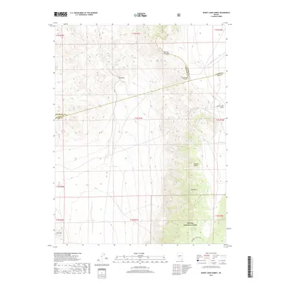
2018 Map of Burnt Cabin Summit
USGS Topo · Published 2018About this map
The Desatoya Mountains and the northern reaches of the Paradise Range dominate this high-desert terrain where Churchill, Lander, and Nye Counties meet. This 2018 survey documents a landscape defined by significant elevation changes, from the broad Lodi Valley and Smith Creek Valley to the prominent heights of Black Butte. A portion of the Toiyabe National Forest occupies the southeastern corner, providing a preserved habitat amidst the basin-and-range topography. The transportation network is sparse, centered on the Burnt Cabin Summit crossing and the recreational Big Spring-Flagstaff Loop. The map provides a precise record of the section lines and township boundaries that parcel this arid region, illustrating how geography and administrative lines intersect in the Great Basin.
Find a feature on this map
21 named features on this map. Tap any name to fly to it.
Don’t see what you’re looking for? This feature index may not catch every label — zoom into the map to look around manually.
Map Details
Editions of this 2018 Burnt Cabin Summit Map
This is the sole edition of this map. No revisions or reprints were ever made.
Other maps of this area

1907 · Tonopah
USGS Topo · 1:250,000

1908 · Tonopah
USGS Topo · 1:250,000

1948 · Paradise Peak
USGS Topo · 1:62,500

1948 · Ione
USGS Topo · 1:62,500

1950 · Paradise Peak
USGS Topo · 1:62,500

1950 · Ione
USGS Topo · 1:62,500

1955 · Millett
USGS Topo · 1:250,000

1956 · South Shoshone Peak
USGS Topo · 1:62,500

1956 · Tonopah
USGS Topo · 1:250,000

1959 · Tonopah
USGS Topo · 1:250,000