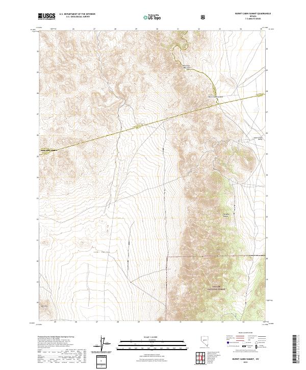
2021 Map of Burnt Cabin Summit
USGS Topo · Published 2021About this map
The Desatoya Mountains dominate this high-desert intersection of central Nevada, where the ridgelines of the Paradise Range descend toward the floor of the Lodi Valley. This 2021 survey captures a complex jurisdictional meeting point where the boundaries of Nye, Churchill, Mineral, and Lander counties converge in a series of straight-line survey divisions. The southern portion of the map is anchored by the protected lands of the Toiyabe National Forest, showing the transition from the high peaks near Black Butte down into the expansive Smith Creek Valley. A primary mountain passage is marked at Burnt Cabin Summit, reflecting the historic importance of these gaps for transport across the Great Basin. The landscape is characterized by its dramatic elevation changes, from the isolated Lodi Hills to the rugged summits that define these distinct basin-and-range formations.
Find a feature on this map
12 named features on this map. Tap any name to fly to it.
Don’t see what you’re looking for? This feature index may not catch every label — zoom into the map to look around manually.
Map Details
Editions of this 2021 Burnt Cabin Summit Map
This is the sole edition of this map. No revisions or reprints were ever made.
Other maps of this area

1907 · Tonopah
USGS Topo · 1:250,000

1908 · Tonopah
USGS Topo · 1:250,000

1948 · Paradise Peak
USGS Topo · 1:62,500

1948 · Ione
USGS Topo · 1:62,500

1950 · Paradise Peak
USGS Topo · 1:62,500

1950 · Ione
USGS Topo · 1:62,500

1955 · Millett
USGS Topo · 1:250,000

1956 · South Shoshone Peak
USGS Topo · 1:62,500

1956 · Tonopah
USGS Topo · 1:250,000

1959 · Tonopah
USGS Topo · 1:250,000