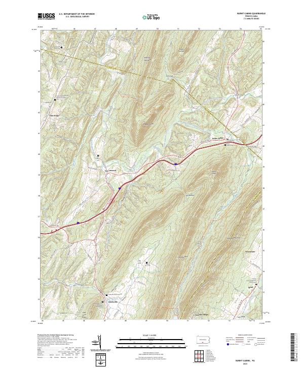
2023 Map of Burnt Cabins
USGS Topo · Published 2023About this map
Fort Littleton and Knobsville serve as primary anchors in this landscape defined by the parallel ridges of the Appalachian Mountains. The terrain is marked by significant features like Cove Mountain, Blacklog Mountain, and Tuscarora Mountain, which dictate the paths of waterways such as the North Branch Little Aughwick Creek. Family and community history is deeply rooted here, evidenced by numerous burial grounds including the Burnt Cabins Cem, Englert Farm Cem, and the Knobsville Reformed Cem.
Find a feature on this map
84 named features on this map. Tap any name to fly to it.
Don’t see what you’re looking for? This feature index may not catch every label — zoom into the map to look around manually.
Map Details
Editions of this 2023 Burnt Cabins Map
This is the sole edition of this map. No revisions or reprints were ever made.
Other maps of this area

1900 · Mercersburg
USGS Topo · 1:62,500

1902 · Mercersburg
USGS Topo · 1:62,500

1925 · Needmore
USGS Topo · 1:48,000

1930 · Broad Top
USGS Topo · 1:62,500

1933 · Broad Top
USGS Topo · 1:62,500

1935 · Needmore
USGS Topo · 1:62,500

1939 · Needmore
USGS Topo · 1:62,500

1939 · Orbisonia
USGS Topo · 1:62,500

1940 · Orbisonia
USGS Topo · 1:62,500

1942 · Hagerstown
USGS Topo · 1:125,000