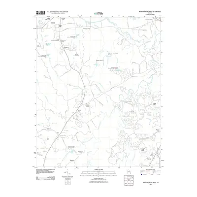
2011 Map of Burnt Hickory Ridge
USGS Topo · Published 2011About this map
The Etowah River carves through the northern reaches of this landscape, anchoring a region defined by its industrial history and scattered rural settlements. For genealogists and local historians, the map is a dense record of family landholdings and community life, featuring several small burial grounds such as the Douthit Family Cemetery and the Lucas Family Cemetery. The southern half of the quadrangle reveals a legacy of resource extraction, with the Dunaway Mine, Merritt Mine, and Russell Mine cluster near Burnt Hickory Farms.
Find a feature on this map
105 named features on this map. Tap any name to fly to it.
Don’t see what you’re looking for? This feature index may not catch every label — zoom into the map to look around manually.
Map Details
Editions of this 2011 Burnt Hickory Ridge Map
This is the sole edition of this map. No revisions or reprints were ever made.
Other maps of this area

1890 · Cartersville
USGS Topo · 1:125,000

1891 · Marietta
USGS Topo · 1:125,000

1891 · Cartersville
USGS Topo · 1:125,000

1895 · Marietta
USGS Topo · 1:125,000

1896 · Cartersville
USGS Topo · 1:125,000

1897 · Marietta
USGS Topo · 1:125,000

1901 · Marietta
USGS Topo · 1:125,000

1906 · Stilesboro
USGS Topo · 1:62,500

1907 · Acworth
USGS Topo · 1:62,500

1908 · Stilesboro
USGS Topo · 1:62,500