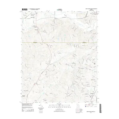
2014 Map of Burnt Hickory Ridge
USGS Topo · Published 2014About this map
Burnt Hickory Ridge anchors this landscape where the borders of Bartow and Paulding counties meet, documenting a mix of established rural communities and growing residential pockets in the early 21st century. The Etowah River flows across the northern edge near the Cartersville Airport, while the southern reaches are defined by the winding tributaries of Pumpkinvine Creek. This survey is particularly useful for genealogical research, identifying numerous family and congregational burial grounds such as the Lucas Family Cem, Douthit Family Cem, and Mt Moriah Cem. Settlement patterns follow the historic corridors of the Cartersville Hwy and Old Alabama Rd SW, connecting small locales like Crowville, Oak Hill, and Indian Valley. The George H McMillan Bridge serves as a notable landmark over the central creek system, marking the intersection of local infrastructure and the natural drainage of the Georgia Piedmont.
Find a feature on this map
63 named features on this map. Tap any name to fly to it.
Don’t see what you’re looking for? This feature index may not catch every label — zoom into the map to look around manually.
Map Details
Editions of this 2014 Burnt Hickory Ridge Map
This is the sole edition of this map. No revisions or reprints were ever made.
Other maps of this area

1890 · Cartersville
USGS Topo · 1:125,000

1891 · Marietta
USGS Topo · 1:125,000

1891 · Cartersville
USGS Topo · 1:125,000

1895 · Marietta
USGS Topo · 1:125,000

1896 · Cartersville
USGS Topo · 1:125,000

1897 · Marietta
USGS Topo · 1:125,000

1901 · Marietta
USGS Topo · 1:125,000

1906 · Stilesboro
USGS Topo · 1:62,500

1907 · Acworth
USGS Topo · 1:62,500

1908 · Stilesboro
USGS Topo · 1:62,500