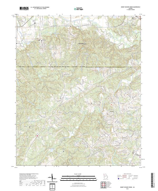
2024 Map of Burnt Hickory Ridge
USGS Topo · Published 2024About this map
Burnt Hickory Ridge and the winding course of Pumpkinvine Creek define this landscape along the border of Bartow and Paulding counties. The northern reaches are shaped by the Etowah River and industrial infrastructure such as CSX Transportation and the Cartersville Airport. The terrain is characterized by numerous small drainages like McEvers Branch and Little Pumpkinvine Creek, which flow through a mix of established rural settlements and newer developments.
Find a feature on this map
188 named features on this map. Tap any name to fly to it.
Don’t see what you’re looking for? This feature index may not catch every label — zoom into the map to look around manually.
Map Details
Editions of this 2024 Burnt Hickory Ridge Map
This is the sole edition of this map. No revisions or reprints were ever made.
Other maps of this area

1890 · Cartersville
USGS Topo · 1:125,000

1891 · Marietta
USGS Topo · 1:125,000

1891 · Cartersville
USGS Topo · 1:125,000

1895 · Marietta
USGS Topo · 1:125,000

1896 · Cartersville
USGS Topo · 1:125,000

1897 · Marietta
USGS Topo · 1:125,000

1901 · Marietta
USGS Topo · 1:125,000

1906 · Stilesboro
USGS Topo · 1:62,500

1907 · Acworth
USGS Topo · 1:62,500

1908 · Stilesboro
USGS Topo · 1:62,500