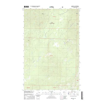
2017 Map of Burnt Hill
USGS Topo · Published 2017About this map
Olympic National Forest land dominates this 2017 terrain, where the headwaters of the West Fork Humptulips River and E Fork Humptulips River carve through the foothills of the Olympic Mountains. The map reveals a complex system of forestry access, including Donkey Creek Rd and numerous National Forest Development Roads like Natl Forest Develop Road 22 Rd. These routes track the drainage basins of several smaller streams such as Furlough Cr, Webfoot Cr, and Rainbow Cr.
Find a feature on this map
37 named features on this map. Tap any name to fly to it.
Don’t see what you’re looking for? This feature index may not catch every label — zoom into the map to look around manually.
Map Details
Editions of this 2017 Burnt Hill Map
This is the sole edition of this map. No revisions or reprints were ever made.
Other maps of this area

1921 · Quinault Lake
USGS Topo · 1:62,500

1921 · Satsop
USGS Topo · 1:62,500

1941 · Mobray
USGS Topo · 1:62,500

1943 · Humptulips
USGS Topo · 1:62,500

1943 · Mobray
USGS Topo · 1:62,500

1955 · Wynoochee Valley
USGS Topo · 1:62,500

1955 · Grisdale
USGS Topo · 1:62,500

1955 · Humptulips
USGS Topo · 1:62,500

1955 · Quinault Lake
USGS Topo · 1:62,500

1958 · Seattle
USGS Topo · 1:250,000