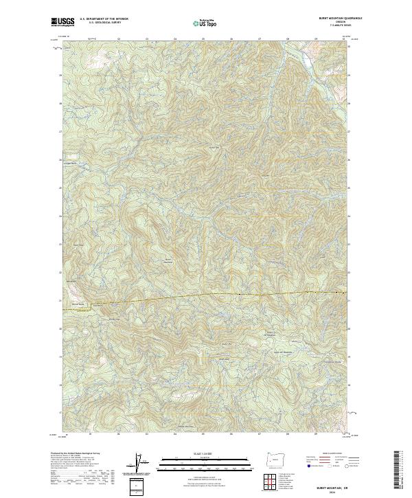
2024 Map of Burnt Mountain
USGS Topo · Published 2024About this map
Calapooya Divide serves as a prominent physical boundary in this portion of the Western Cascades, separating the headwaters of the Big River system from the North Fork Calapooya Creek. The landscape is defined by high-elevation landmarks such as Burnt Mountain, Pilot Rock, and Kellys Bluff. The intricate network of forest access roads, including the historic Bohemia Rd, indicates the area's long-standing connection to regional mining and timber operations.
Find a feature on this map
57 named features on this map. Tap any name to fly to it.
Don’t see what you’re looking for? This feature index may not catch every label — zoom into the map to look around manually.
Map Details
Editions of this 2024 Burnt Mountain Map
This is the sole edition of this map. No revisions or reprints were ever made.
Other maps of this area

1897 · Roseburg
USGS Topo · 1:125,000

1900 · Roseburg
USGS Topo · 1:125,000

1935 · Lowell
USGS Topo · 1:96,000

1942 · Lowell
USGS Topo · 1:125,000

1954 · Anlauf
USGS Topo · 1:62,500

1954 · Glide
USGS Topo · 1:62,500

1955 · Mace Mtn
USGS Topo · 1:62,500

1955 · Culp Creek
USGS Topo · 1:62,500

1958 · Roseburg
USGS Topo · 1:250,000

1959 · Roseburg
USGS Topo · 1:250,000