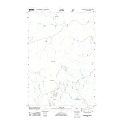
2011 Map of Burnt Mountain
USGS Topo · Published 2011About this map
Burnt Mountain and Starlight Mountain anchor this high-elevation landscape in Silver Bow County, where the legacy of Montana mining is etched into the drainage patterns of the Continental Divide. The northern reach is defined by the historic operations at the German Gulch Placer Mine, while the southern slopes feature the Indian Queen Mine. This terrain is networked by seasonal watercourses like Beefstraight Creek and Norton Creek, which flow through deep gulches such as American Gulch. Scattered homesteads and outposts including Sciuchetti Place, Delano Place, and Bull Ranch suggest a history of localized ranching and prospecting. Modern recreational use is evident at the Beaver Dam Campground and Olson Park near the South Fork Divide Creek, providing a contemporary layer to a map otherwise dominated by topographic peaks and the names of early mountain cabins.
Find a feature on this map
26 named features on this map. Tap any name to fly to it.
Don’t see what you’re looking for? This feature index may not catch every label — zoom into the map to look around manually.
Map Details
Editions of this 2011 Burnt Mountain Map
This is the sole edition of this map. No revisions or reprints were ever made.
Other maps of this area

1889 · Helena
USGS Topo · 1:250,000

1893 · Helena
USGS Topo · 1:250,000

1893 · Dillon
USGS Topo · 1:250,000

1899 · Helena
USGS Topo · 1:250,000

1903 · Helena
USGS Topo · 1:250,000

1947 · Butte
USGS Topo · 1:250,000

1955 · Dillon
USGS Topo · 1:250,000

1957 · Dillon
USGS Topo · 1:250,000

1958 · Butte
USGS Topo · 1:250,000

1958 · Dillon
USGS Topo · 1:250,000