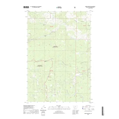
2020 Map of Burnt Mountain
USGS Topo · Published 2020About this map
The Continental Divide National Scenic Trail winds through the heart of this high-elevation terrain, crossing over Burnt Mtn and traversing the border between Deerlodge National Forest and Beaverhead National Forest. This montane landscape is defined by its deep drainages, including several gulches named during Montana's mining eras, such as German Gulch, American Gulch, and Greenland Gulch.
Find a feature on this map
50 named features on this map. Tap any name to fly to it.
Don’t see what you’re looking for? This feature index may not catch every label — zoom into the map to look around manually.
Map Details
Editions of this 2020 Burnt Mountain Map
This is the sole edition of this map. No revisions or reprints were ever made.
Other maps of this area

1889 · Helena
USGS Topo · 1:250,000

1893 · Helena
USGS Topo · 1:250,000

1893 · Dillon
USGS Topo · 1:250,000

1899 · Helena
USGS Topo · 1:250,000

1903 · Helena
USGS Topo · 1:250,000

1947 · Butte
USGS Topo · 1:250,000

1955 · Dillon
USGS Topo · 1:250,000

1957 · Dillon
USGS Topo · 1:250,000

1958 · Butte
USGS Topo · 1:250,000

1958 · Dillon
USGS Topo · 1:250,000