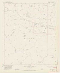
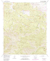
1958 Map of Burnt Peak
USGS Topo · Published 1965About this map
The San Andreas Rift Zone slices through this high-altitude landscape of the Angeles National Forest, creating a unique geological corridor that defines the area's geography. In the late 1950s, this region was a network of firebreaks and truck trails, supporting isolated outposts like the Tweedy Lake Club and Hidden Lake Ranch. The presence of the Radio Range Station and the Pine Canyon Ranger Sta highlights the strategic and administrative importance of these summits for forest management and aviation navigation. Mineral exploration is evidenced by the Big Chief Mine and Maxwell Mine, tucked away in the steep drainages of Fish Canyon and Elizabeth Lake canyon. Small settlements and mountain retreats like Three Points and Deer Lodge represent the thin human footprint in this mountainous terrain, connected by rugged routes such as the Baldwin Motorway and Sawmill Truck Trail.
Find a feature on this map
77 named features on this map. Tap any name to fly to it.
Don’t see what you’re looking for? This feature index may not catch every label — zoom into the map to look around manually.
Map Details
Editions of this 1958 Burnt Peak Map
5 editions found
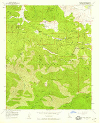
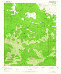
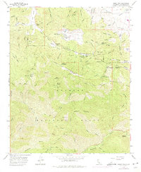
Other maps of this area

1903 · Tejon
USGS Topo · 1:125,000

1915 · Elizabeth Lake
USGS Topo · 1:125,000

1917 · Elizabeth Lake
USGS Topo · 1:125,000

1931 · Warm Spring
USGS Topo · 1:24,000

1931 · Redrock Mtn
USGS Topo · 1:24,000

1932 · Hughes Lake
USGS Topo · 1:24,000

1932 · Fairmont
USGS Topo · 1:24,000

1932 · Neenach
USGS Topo · 1:24,000

1933 · Manzana
USGS Topo · 1:24,000
1936 · Warm Spring
USGS Topo · 1:24,000