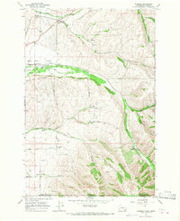
1966 Map of Buroker
USGS Topo · Published 1967About this map
Walla Walla Valley agriculture and infrastructure are clearly defined in the mid-1960s as the Northern Pacific railroad connects small rural sidings and shipping points. Grain production dominates the local economy, evidenced by a Grain Elevator at Sapolil, Buroker, and Tracy. This survey provides a precise look at historical land tenure, marking the Donation Land Claim Boundary and the Titus Boundary, which reflect the early settlement patterns of the region.
Find a feature on this map
40 named features on this map. Tap any name to fly to it.
Don’t see what you’re looking for? This feature index may not catch every label — zoom into the map to look around manually.
Map Details
Editions of this 1966 Buroker Map
2 editions found
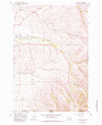
Other maps of this area
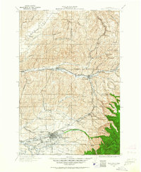
1919 · Walla Walla
USGS Topo · 1:125,000
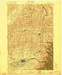
1921 · Walla Walla
USGS Topo · 1:125,000
1953 · Pendleton
USGS Topo · 1:250,000
1953 · Walla Walla
USGS Topo · 1:250,000
1956 · Pendleton
USGS Topo · 1:250,000
1958 · Walla Walla
USGS Topo · 1:250,000
1963 · Big Meadows
USGS Topo · 1:24,000
1963 · Peterson Ridge
USGS Topo · 1:24,000
1964 · Bowlus Hill
USGS Topo · 1:24,000
1966 · Dixie
USGS Topo · 1:24,000